Dufferin Hi-Land Section - Lavender Cemetery (55.7 km) to Prince of Wales Road (41.7 km) - August 25, 2022.
Dufferin Hi-land Section - Lavender Cemetery (55.7 km) to Prince of Wales Road (41.7 km) - August 25, 2022.
The Hiking with Friends group was back on the Bruce Trail this week with a 14 km stroll in the Dufferin Hi-lands Section, commencing in Lavender and heading southward to Prince of Wales Road and 20th Sideroad.
A bird's eye view of the route starting on the left and heading southward (with a westward mid-section) to the parking area on Prince of Wales Road...the hike lasted 5 hours and 10 minutes and we climbed a cumulative 352 meters over the course of the course, as the elevation profile suggests, of course...
Besides myself, who got to enjoy this great adventure you are dying to ask?..well, there was Barbara, Brian (leader), Sandra (sweep), Marleen, Laura, Michael, and Ron B...as you can see, we were in a 'grave' situation at the start, but we had 'plotted' a route, and were going to stick to it (unless we reached a dead end?)...
An early start under overcast skies led us shortly onto 1st Line EHS (East of Hurontario Street) for a relatively easy first few kilometers...a chance for some of us who had been on summer adventures elsewhere to catch up with missed hiking pals...
After crossing 30 Sideroad, the trail becomes less road, and more "pathway"...
A short deviation takes us over a dry creek bed (a missed bridge picture opportunity that would fortunately not be regretted)...
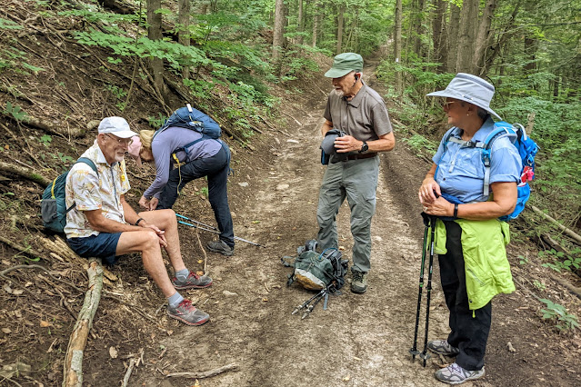
The air was humid and our first rest stop was a chance for some to make clothing adjustments...
We reach the point on the trail where it turns into the forest proper...we have covered almost 5 km in the first hour...a pace that would not be replicated the rest of the hike...but hey, what's the rush when you're enjoying nature?
There were lots of angular trees in the woods, including one apparently felled by the ever present "death by blaze" disease...
We soon emerge onto a large meadow and hey, there's hay!
There was the threat of some showers today but so far, the trail has been dry and welcoming...
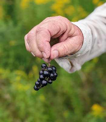
Brian stops to harvest some wild grapes...
After traversing Hwy 21, we get an amazing view of the golden fields stretching out before us...
A second chance for a bridge picture is not passed up!..some light showers have started to fall and most (well everyone except me who opted to not bring any) have donned some rain gear...
We reach Black Bank Creek...and a hiking photographer contemplates..."would this have been a better location for our bridge picture?"...no regrets...move on...
We encounter the most lush, and technically challenging, part of today's route...the trail appears to disappear for several meters and the now slippery rocks require extra attention and focus...
...and emerge onto Prince of Wales Road...we know the dropped cars are just to the south of us, but it's northward we head to finish the last few kilometers...
After negotiating the first of several stiles to come, we start the long climb up following the fence line of these farmers' pastures...
A great spot to pause and appreciate what this trail is all about...
Since I first started hiking the B.T and taking photographs, this has been one of my favorite locations...it just has all the elements that make for a great photo...
I consider this shot, taken almost 2 years ago in the same location, to be the picture that really got me hooked on trail photography...
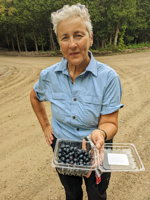
But enough nostalgia...our day is done and Laura has the perfect refreshment to provide a sweet ending to a great hike!..thanks for letting me share some thoughts and pictures from it with you...see you again soon!
(View of Cape Croker and Hay Island on the Bruce Peninsula from several thousand feet- taken on my recent return from Calgary)


Comments
Post a Comment