Iroquoia Section - Grimsby (0.0 km) to Lewis Road (11.1 km) - Jan. 11, 2024.
Happy New Year from the Hiking With Friends group and welcome to our first adventure of 2024!..after an extended holiday break, it's time to get back on our favorite trail and reunite with nature (and work off some of the seasonal excesses that 'may' have accrued during that more sedentary period)...our goal on this day was to hike from the Grimsby Lions Community Pool parking lot westward to Lewis Road, which will cover 11.1 km of the main trail, and end up being around 12.5 km of actual distance with the necessary side trail accesses...

After climbing up the 40 Mile Creek valley, it's a pretty linear track along this ribbon of wilderness that separates the predominantly agricultural lands to the south from the more urbanized area to the north along the shores of Lake Ontario...it will be a 4 hour and 15 minute jaunt and a fairly mundane 275 meters of climbing, with most of that coming early on...but trail conditions, particularly in the second half, will make this a seemingly far more arduous effort...
There are a dozen hikers prepared to get this hiking year off on the right foot...and then the left, and then the right again, and repeat...including myself, Barbara, Liz, Annette (H.C), Steve K, Steve R (apparently just back from a Grimsby bank heist), Andrea (sporting her very nice new hiking jacket), Lesley, Rhonda, Josie, Frank, and Sandra...we are set to hit the first segment of the Iroquoia Section!
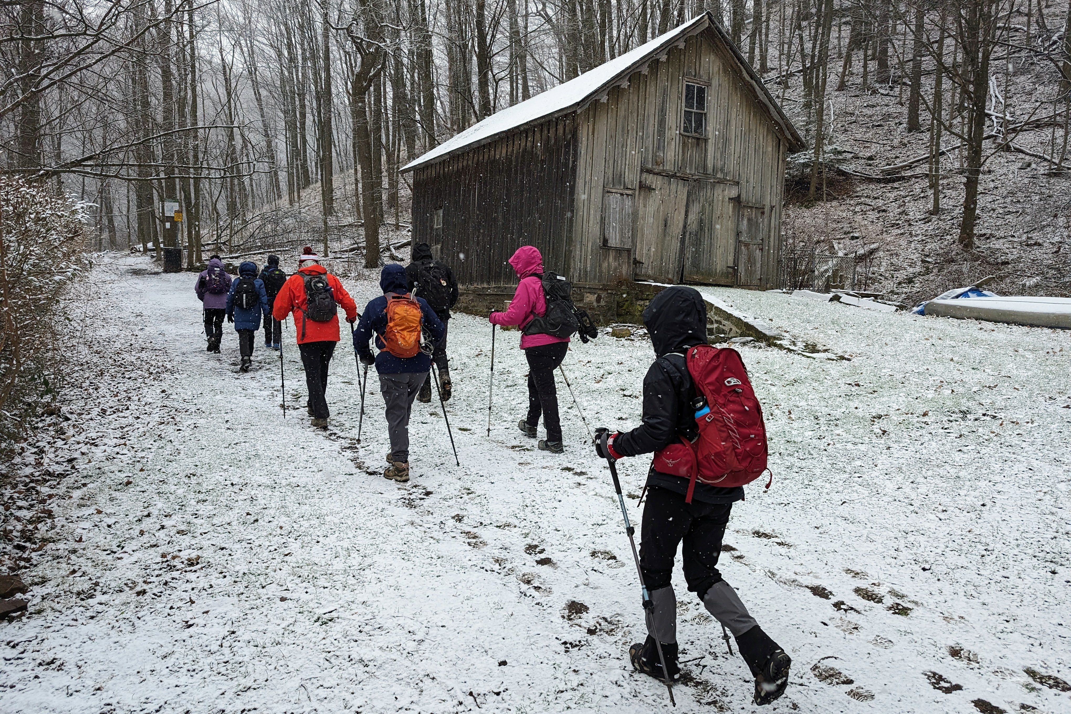
Our winter in these parts has been pretty benign so far, but there's a dusting of snow from some recent, and present, flurries that blankets the ground and presents nicely as we access the main trail after the short walk up Gibson Street...we are welcomed by signage confirming that we are indeed on the section maintained by the Iroquoia Club...
Heavy rains a couple of days ago have consolidated in the 40 Mile Creek watershed and are rushing downstream at about 40 miles an hour in their quest to join Lake Ontario...is it coincidence that the water seemingly has the color of whiskey?..
Is there any better way to warm up quickly (other than sitting beside a roaring fire with a hot drink that is) than having to climb a couple of hundred meters up the side of a steep valley?..that's our choice...it's pretty, and pretty challenging...

There's a break in the effort, and a chance to admire the quiet beauty of the landscape...
And then it's back to more climbing...
We've reached the top of Grimsby Point and there's a discussion about some of the group opting to take the available side trails (primarily those that are E2E'ers and presently pursuing a new Blue Side Trail badge goal)...so there's a split here where 5 go off to sing the "side trail blues", and 7 will remain on the main trail...we will reunite at Beamer Memorial Conservation Area...both routes equate to about 1.2 km so our plan is solid...
I've chosen to go with the "Blue (Wo)Man Group" and it's a good opportunity to put our new enhanced communication system to the test...as an alternative to often sketchy cell phone service (and fumbling to access those devices), I've purchased 3 of these radios to use for short range conversations between distanced hikers...hopefully they will augment our safety protocols and help keep us "together", but really, who doesn't like playing with walkie-talkies?..(and that is what hikers do best, walk...and talk...)
Meanwhile, over on the main trail, Sir Hike-a Lot stands imperiously over his troupe at the Beamer Lookout Point...
It's my turn to gain the higher ground as the view from the hawk observation tower at Beamer Memorial C.A proves...
The Main Trail group emerges onto the scene shortly after our arrival at the park...
Reunited, we depart the conservation area (still pondering why this area is dedicated to the memory of old B.M.W's) and head out for some road walking...conditions have been o.k for the most part...still a light rain/snow mix falling but not too much wind thank goodness...
This beautiful horse farm on Ridge Road West is a landmark on this route...
A right turn onto Wolverton Road leads us down to the entrance to Wolverton Conservation Area...and signage that indicates the Iroquoia Club has upped their digital guestbook game...QR codes, a "natural" tech enhancement...
The views have been muted today by the (seemingly endless these days) dreary grey skies, but a decent bridge picture can bring smiles whatever the weather!..
With a good distance behind us, it's time for a short break for refreshment on a couple of suitable logs...always happy that we get to hike in ADACAN...great country...
It's onward we go after the break, and we are about to "enjoy" a couple of hours of muddy mid-escarpment trail so it's "head down" and watch your step or you are going down time...it has warmed up just enough that what snow there was has melted, and it's pretty much a light drizzle now...not the best conditions, but at least there's no wind, and we have walkie-talkies!..
At the Cline Mountain Road Side Trail, we say good-bye to three Side Trail Badge seekers as they elect to hike 320 meters off the main trail down a muddy slope...just to climb back up again, because...well, you tell me...hikers are just like that I guess...
The rest of us carry on, step by muddy step, and eventually cross Fifty Road...
"Death by Blaze" rears its troubling head, surely caused by the recent high winds in this region...some areas were starting to look like a giant game of "pick-up-sticks"...we encounter another hiking group heading in the opposite direction (another Zax moment) and wish them well in this mire...and then, the sign we were longing for (at this point, having not hiked for several weeks, I was 'weakening')...it's the Lewis Road Side Trail and the path to our dropped cars...
Somehow, we know that our trailing threesome is not far behind us (how was that you ask?..I think you know)...after a few more tentative, slippery steps, we reach flat, solid ground and breath easier...
A flowing culvert across from our dropped cars provides a suitable boot washing spot for some as the last hikers reach our destination of our first hike of 2024... I'm already looking forward to more challenging experiences with this group with whom I've shared 4 years of Bruce Trail adventures...I hope you enjoyed the walk together!
The End
"Take only memories (and some mud), leave only (muddy) footprints"


Comments
Post a Comment