Iroquoia Section - Felker's Falls (23.2 km) to Hillcrest Ave. (37.1 km) - February 22, 2024.
Iroquoia Section - Felker's Falls (23.2 km) to Hillcrest Ave. (37.1 km) - February 22, 2024.


We will spend roughly 4 1/2 hours enjoying the trail and its unique features, and be required to climb 325 meters, a good portion of that about two-thirds of the way along (as seen clearly in the profile) by way of "those stairs"...but more on that later...it's a pretty warm morning at the start and we are ready to get in motion!


We rendezvous on Hillcrest Ave. in the "Hammer" and shuttle over to the parking lot on Ackland St. in Stoney Creek where the playground structure is always a fun spot to assemble for our group photo...13 hikers are present including myself, Sandra, Steve R, Marlene, Lesley, Barbara, Dave, Rita, Ron B, Andrea, Annette (H.C), new member Georgia (welcome!), and Frances...as it will turn out, the slide is a good metaphor for what most of us will be doing in the near future...but, hey, let's swing into action!


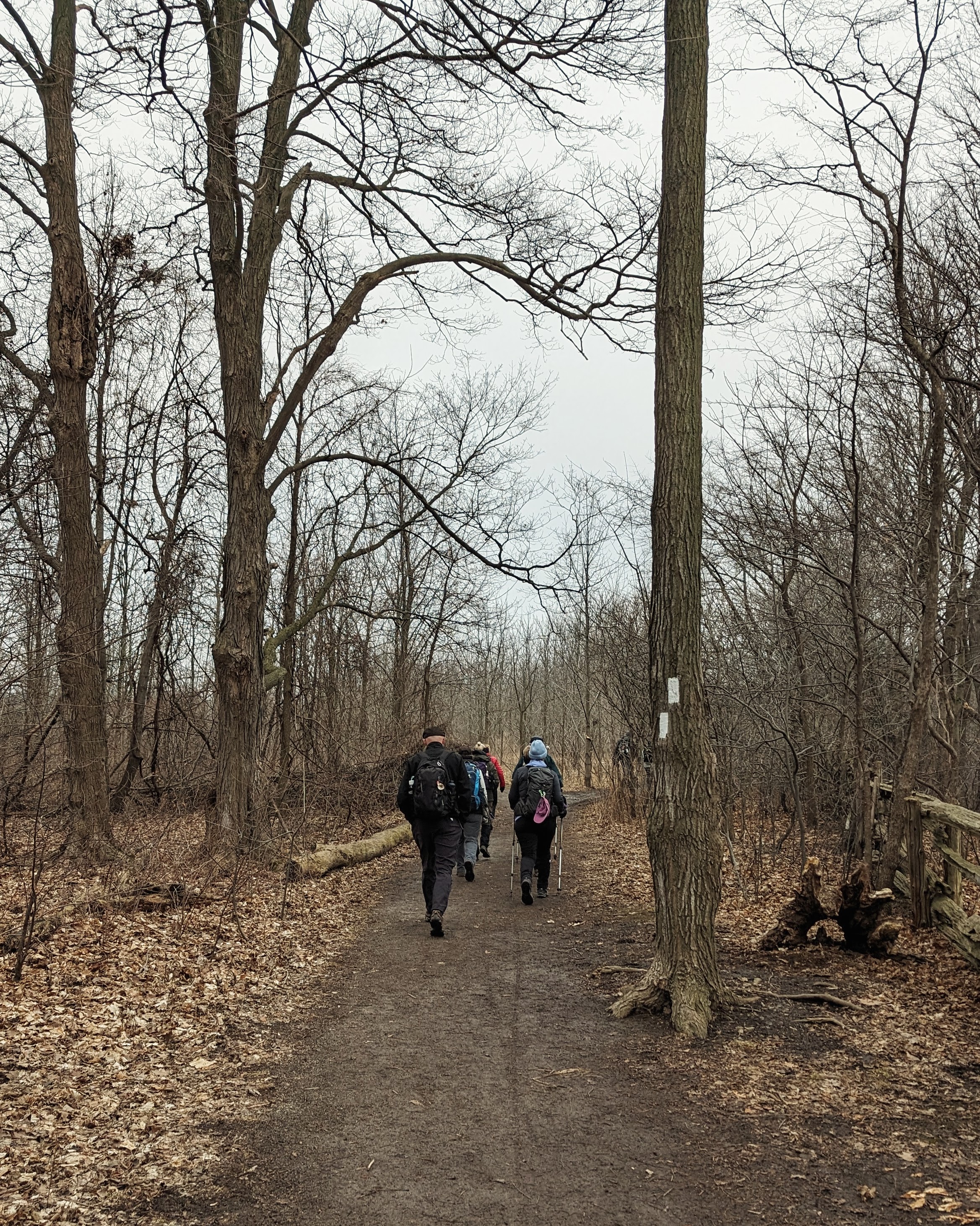
As we head out into the Conservation Area, there's a good view of a decently flowing Felker's Falls, after which the park gets its name...the trail is a mix of mushy earth and pavement as we begin with a brisk pace under overcast skies...


Glendale Golf Club lies below us, eagerly awaiting its members' return in the not too distant future...Dave tells me that he was even able to play recently at the Chedoke Golf facility...seems par for the course this winter...


We emerge onto the western end of the remnants of Mount Albion Road, rendered obsolete I suspect with the opening of the distant Red Hill Valley Parkway in 2007...the pervasive drone of traffic will be an almost constant audible backdrop to much of today's adventure...


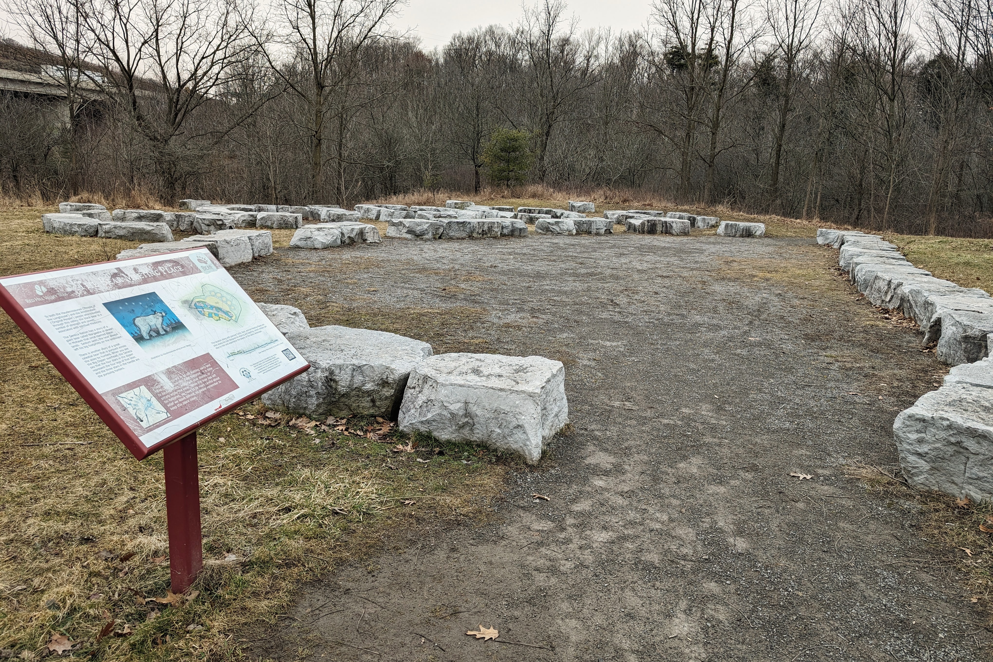
As we pass under the parkway, we encounter the first examples of another prevalent visual theme for today...graffiti...I'm pretty sure Hamilton ranks very high on per capita spending in regards to spray paint...some may consider the drawings as having artistic merit...but much of it is just "meh" and an affront to the surrounding natural landscape. The entrance to Red Hill Valley Park is graced by an arrangement of boulders called the "Bear Meeting Place", created in 2014 in the shape of a bear's paw...a place for hikers and bikers in the area to rest and reflect...


We eventually reach and follow Red Hill Creek, which flows 7 kilometers north-east from Albion Falls to ultimately discharge into Hamilton Harbor...the name comes from the reddish soil which is rich in iron...


The crossing of the creek provides a great spot for a traditional bridge pic...


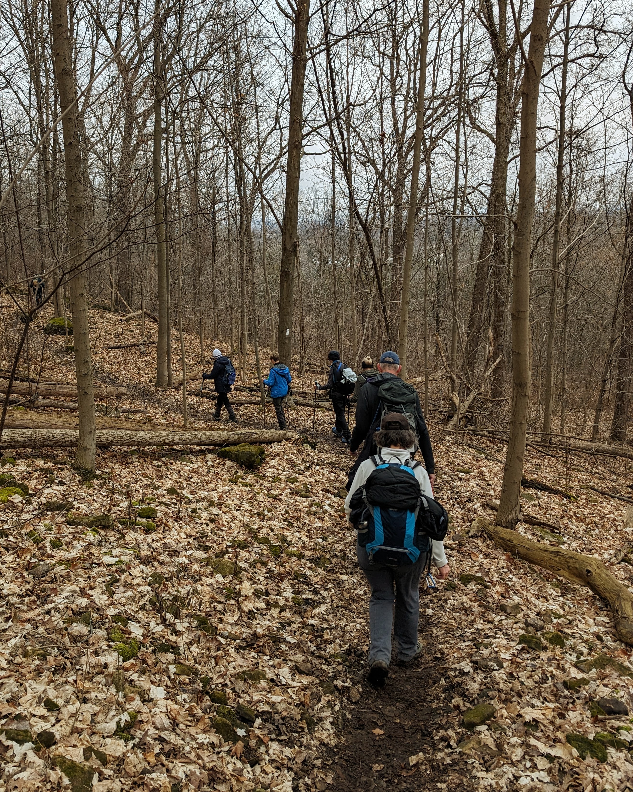
We begin the ascent out of the valley and the trail is becoming increasingly muddy and slippery...with a few fallen trees to negotiate to add to the challenge...thanks to Dave's keen eye, we see why this large one obviously fell, as a white blaze is found on the other side...add it to the list...


His keen eyes are also able to locate several wayward drives from the nearby King's Forest Golf Club...showing that hiking really is just a slice-of-life...


A little further along, we pass the intersection of the iconic Uli's Stairs...hand constructed of wood and stone over the course of roughly 5 years by an Austrian man (Ulrich "last name unknown") in memory of his late wife, they stretch from the bottom of the escarpment at the end of Greenhill Ave. up to the corner of Fennell Ave. East and Mountain Brow Blvd...use at your own risk...


The next staircase we reach is the more traditional (and way more expensive) steel one, Kenilworth Stairs...we pause for a regroup and a view of lower Hamilton...


I should mention a this point in the hike that as we approached the urban core of Hamilton, it was dispiriting to see the frequent signs of abandoned encampments and the associated piles of litter and discarded trappings associated with those who, while appreciating their challenges in life, have chosen to leave garbage strewn everywhere along our route...maybe it's the failure of the city to maintain this area in better condition, but it got worse and worse as we progressed...I choose to not include any pictorial evidence in this blog but it is there, and it's disheartening...


Having traveled through mud and rocks on the Bruce Trail, all the while being quite parallel to the nicely paved Escarpment Rail Trail, the two eventually coalesce and become one just before the bridge over Kenilworth Access...on the other side, we take our refreshment break overlooking the old Century Brick plant on Lawrence Road...


We'll assume this tally is correct...it sure felt like more...


There's no stopping us now, well except for a brief pause before setting off on the next ascent to where the trail emerges at the Jolley Cut...


There are some great views of the city and, further afield, Burlington Bay and the Skyway Bridge...


Exiting off of Arkledun Ave., the trail winds underneath and joins Claremont Access..we follow the Keddy Access Trail (built in 2020 because of, and named after, a cyclist that was killed climbing this hill) that parallels the road...


The last section of trail that we'll enjoy today is a fairly secluded area, just below the St. Joseph's Health Center, that is really quite impressive and, after the cacophony of traffic noise earlier, actually quite peaceful...


There's an effort to remove some of the gooey mess that covers our boots but in the end, it's just as well to "bag 'em up" and deal with it at home...all told, we've covered about 15 km today and, despite some slips and slides and gentle falls, enjoyed what can be described as a particularly unique part of the Bruce Trail...while urban encroachment certainly leaves its impression while hiking in the "Hammer" (some good, some bad), the trail will always find a way to challenge and fascinate you along its varied course...thanks for joining us again and see you again soon!


Comments
Post a Comment