Iroquoia Section - Lewis Road (11.1 km) to Felker's Falls (23.2 km) - March 14, 2024.
Hiking With Friends was back in action this past week in the Iroquoia Section of the Bruce Trail tackling 12.1 km of main trail (roughly 13 km in total) starting at the end of Lewis Road (just outside Winona) and travelling to the parking lot at Felker's Falls Conservation Area in Stoney Creek...I can easily recall our last go at this hike (in the opposite direction mind you) as it was exactly 8 months ago, July 13th, and my grandson was born a few hours later that day...today, it's "Pi Day" (3/14) and the potential for some joy and challenges on the trail is, like this special number's places, infinitesimal...

It may be Pi Day, but there are definitely no circles, arcs, or even major curves on this route...following as it does the thin green ribbon of protected escarpment land that separates the encroaching urban development below (north) and the agricultural lands above (south)...this 4 hour and 20 minute hike will involve a pretty significant four hundred and twenty meters of ascent...and later, 4 and 20 blackbirds will be baked in a pi...
With the clocks having gone ahead last weekend, the sun is just rising as we drop some cars at the parking lot at Felker's Falls Conservation Area and make our way in the 3 shuttle cars to the end of Lewis Road...where a local feline is prowling about checking out these hiker humans...assembling for this morning's adventure are myself, guest hiker Sarah, Steve K, Ron J, Barbara, Andrew, Andrea, Josie, Marleen, Rita, Geoff, Dave, Lesley (H.C), Steve R, Muris, and Sandra...a happy group of 16, and I even managed to get the B.T signs in the frame!..
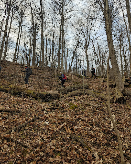
Pi is considered an "irrational" number, and it may be considered likewise to start a hike with a several hundred meter climb straight up the escarpment first thing in the morning, but we do what needs to be done to access the main trail...HWF doesn't give physical challenges a wide circumference...
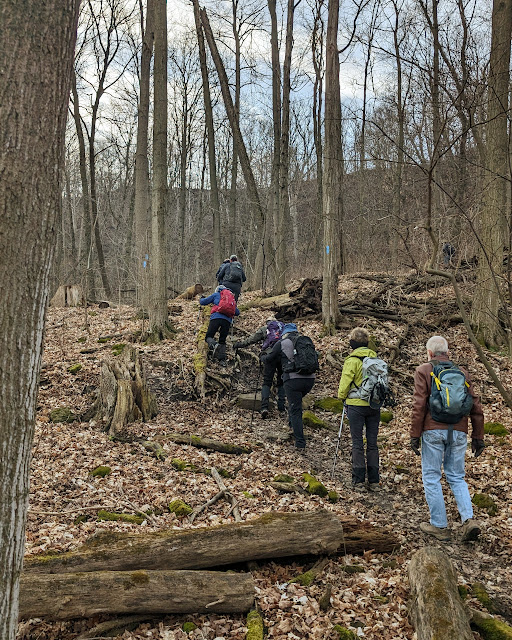
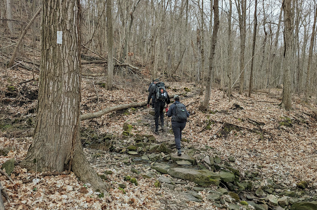
The trail with the white blazes is eventually reached just below the top of the escarpment and we begin our journey westward...initial impressions of conditions underfoot are quite favorable...could we possibly enjoy a day without slogging through copious quantities of mud?..that would be a welcome change!..
It isn't long after that the combination of exertion and warming temperatures make a short clothing adjustment stop necessary for some...
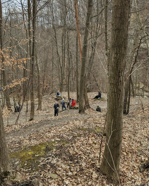
We are soon back underway but there's another pause in the action...this time for water perhaps?..gotta stay hydrated...
We are soon back underway (is there an echo in this forest?) but wait...there's some boot lace re-tying to be done...oh well, the breaks do give us a chance to stop and admire our natural surroundings...something we maybe don't do often enough?..
Although we are travelling more or less along the middle of the escarpment face, the trail does dip up and down, and we will also cross several major ravines during the course of the route, which keeps the heart pumping and the lungs working...just how we like it...

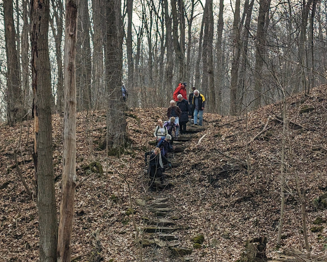
And why not throw in a few stairs for that increased aerobic effect...nobody said this hike would be as "easy as pi"...
DeWitt Road is one of a few thoroughfares that connect the upper and lower portions of the escarpment area that we will need to cross during this hike...Dave helps a wayward motorist with directions (and who then proceeded to make a u-turn on a busy, blind hill corner...sheesh)...
A freight train passes noisily by, just above us, this thin corridor of nature also serves as a transportation channel unfortunately...there's a muted view of Stoney Creek to the north...our often grey winter has made the concept of great vistas more "pi in the sky" than reality...
Two more examples of "death by blaze" for the collection (thanks to Andrew for spotting)...including the very rare "death by turn blaze"...
We cross over the aforementioned railway tracks at New Mountain Road (how bad was the old one?)...
One giant step for most of us to clear this large downed tree...for Dave, meh, just a normal stride over a fallen twig...
The somewhat sketchy steps down to Stoney Creek are our last challenge before a well deserved break by the water and a view of the looming Devil's Punch Bowl above...
There are many occasions when a father will be inclined to "go out on a limb" for his child...Sarah asks one more time, and it appears Steve was willing again...
After a short while, we reassemble to continue our journey, knowing there are only about 4 kilometers left to go...the trail has been in great shape today and we are hoping for more of the same on the home stretch...
Just after our Hike Coordinator, Lesley, commented to me on our lack of a bridge picture, we happened onto this fortuitous location...don't we all look "sweet as pi"?..
We use the railway corridor to pass under Centennial Parkway and meet up with this little "sweetie pi", out exploring with his sister and their grandpa (who gave permission for the pic) on a March Break adventure...future End to End'er?..
There is one last long climb up the escarpment as we enter the Felker's Falls Conservation Area...new residential encroachment is contemplated at the top of the hill...but we are soon immersed in the forest again...
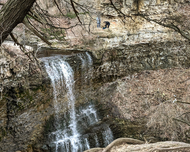
A fancy new fence keeps us away from the precipitous edge overlooking Felker's Falls (obviously not one for the couple on the other side)...
It's an easy stroll from there back to the dropped cars at the Conservation parking lot and the end of a very nice day on the Bruce Trail...judging from my watch, our pace today has been 3.14159 km/hr...coincidence?..if I'm wrong, you know what I'll have to eat..."humble pi".
The End

Thanks for sharing our day!
"Pi Pie for Now"














Comments
Post a Comment