Iroquoia Section - Grimsby Mountain (0.0 km) to Lewis Road (11.1 km) - August 22, 2024.
Iroquoia Section - Grimsby Mountain (0.0 km) to Lewis Road (11.1 km) - August 22, 2024.
After last week's very challenging (read: long, hilly and hot) trek up in Hockley Valley, Hiking With Friends was somewhat relieved to be back closer to home and tackling a little shorter and less "inclined" hike on a much cooler (but sunny) morning this past week in the familiar bench area of the Iroquoia Section...we traveled 11.1 km of main trail but 13 km overall as we began at the Grimsby Lions Community Pool parking lot and wrapped up at the roadside parking at the end of Lewis Road...
The familiar mostly straight line course that is distinctive of this area as we follow the "ribbon of wilderness" that divides the mostly urban area to the lakeside from the primarily agricultural lands to the south...we enjoyed a very comfortable four hours of hiking with a mere 250 meters of climbing...
A slightly smaller group of 11 hiking friends this morning, having dropped a few cars at Lewis Road and carpooled over to the Grimsby Lions Community Pool parking lot, includes myself, Barbara (H.C), Andrea, Grace, Catherine, Laura, Doug, Steve R, Andrew, Frank and Lesley...the sun is up, and were are up for a great hike!..
The Forty Mile Creek Side Trail takes us up Gibson Street on our way to access the main trail (and the start of the Iroquoia Section) and past a beautiful century home (and adjunct barn)...we greet the owner who is enjoying coffee on her porch...she seems to appreciate the foot traffic that frequents her view...the non B.T trail marker is in reference to Major Teyoninokarawen John Norton, who played a prominent role in the War of 1812 leading Haudenosaunee fighters...there is a like named side trail recently created (one year ago) in the Niagara Section that I suspect is historically connected to this site but I couldn't find any other reference for this particular marker...either way, we are clearly not the first people to ply this path...
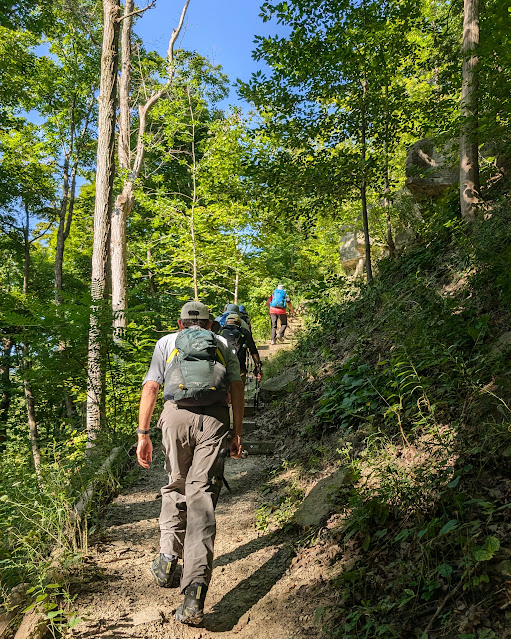
Our big climb of the day takes us up Grimsby Mountain (a bit of a hyperbolic descriptor) and it's a good thing we are fresh (there's a reason we hike this direction)...the 40 Creek Valley is lush and we huff and puff up the makeshift stairs and narrow sloping pathway...
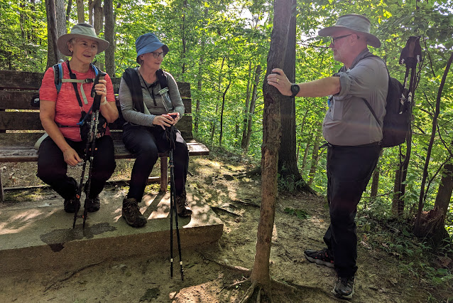
There is respite at the top and a chance to catch our collective breath which is quickly used in lots of animated conversation that accompanies much of our early morning interaction...there are travel plans aplenty and many are drawing upon our fellow hiker's experiences to help shape future itineraries...
It's a gorgeous August morning and the views from the lookout are spectacular...
We hike merrily (is there any other way?) through the Beamer Memorial Conservation Area and arrive at the observation tower used since 1975 for the annual Niagara Peninsula Hawkwatch, which monitors the annual spring migration of hawks, eagles, falcons, and vultures over the escarpment area...we also get a warm welcome from a walker and his dog...
The rural properties that line the stretch of Ridge Road we need to traverse to reach the next forested section are nicely adorned with flowering gardens and reminders of early agricultural practices...it's not an overly busy road, thank goodness, and most motorists seem adept at giving us a wide berth...
A left turn onto Wolverton Road leads us down to the re-entry to the woods and the more familiar rocks and roots underfoot...a short while later, we are able to capture a great bridge picture...
After a short refreshment break on some trail side dining logs, we get back on the path and head west...Sir Hike-a-Lot exhibits a feat of super human strength to clear the way for his fellow hikers...
A picturesque (very dry) creek valley provides an "down and up" challenge before the trail gets back to more even terrain...it's been a perfect day for hiking...comfortable temperatures and no bugs!..
Our crossing at Fifty Road leads us to the last couple of kilometers of the main trail and then the welcome side trail sign for Lewis Road is reached...it's all downhill from here to our dropped cars!..
A few switchbacks later, and level ground is reached...
Nobody was too chicken to finish this last bit of the hike, we like to set a good eggs-ample to all others who will follow...it's been a very enjoyable outing today and we're happy you have shared the walk with us!
The End
Shameless promotion of this excellent locally grown product...no vampires were seen on this hike...obvious proof of its high quality!


Comments
Post a Comment